
The first time I rode from Tokyo to Karuizawa, in 2010, Jerome and I went on a hot September day via Chichibu, Shigasaka Pass, Uenomura, the tunnel to Shimonita, and finally up the steep climb to Karuizawa from the South, expressway bridges soaring far above our heads. It was a memorably hard 175km one day ride.
Of course, each attempt at the SR600 Fuji -- finally completed in May 2015 -- also involved riding to Karuizawa, through Chichibu then up the valley through Tomioka and Annaka and via the easier, gradual climb up to Usui Pass. Numerous other brevets also have covered much of this route, in either or both directions.
But it does not take a rocket scientist to realize that it is a lot easier, and nearly as rewarding, to ride back from Karuizawa (elev. 950m) to Tokyo (sea level). I did it first in 2016, and again in 2019. Earlier this year, 2021, I rode back to Tokyo on the Pelso recumbent from Matsuida, just down the hill from Karuizawa on the Gunma side.
I still get a bit confused what is the best way to get through parts of Gunma, but the route is generally very familiar.
 |
| The route. |
 |
| Elevation profile. Mostly downhill, but 1350m of climbing. |
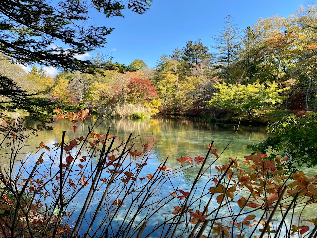
So after a Saturday overnight trip to Karuizawa to visit a close friend of my wife, a feast of a dinner, a leisurely Sunday breakfast, stroll around the Kumoba Ike ("cloud place pond") and nearby "bessou" areas of "old Karuizawa" with early Fall colors and dappled sunlight, then an early lunch near the Station, I hopped on my Sky Blue Parlee for the solo ride back to Tokyo.
The descent down old Route 18 from Usui Pass was lovely, though traffic slowed my speed a bit, a cautious rental car at the front of a line of cars. The traffic thinned once I got past the parking area at Meganebashi, and the weather remained spectacular.
 |
| Bike assembled in dappled sunshine outside hotel. |
 |
| Only 1.5 kms from the shinkansen station, the descent starts. |
 |
| Minimal work to Meganebashi. (Only some accelerations on straightaways.) |
I took a short side trip at Sakamoto-juku to look at the day hot spring and a nice public park, then pretty much followed a typical brevet route onward, skipping GS Astuto this time as I needed to push onward.
 |
| View of Myogi-san from Sakamoto-juku and its day spa/park. |
I managed to take a somewhat hilly but lovely road around the Kuriowa area and then south to Tomioka, back on track. Again, I lost the SR600 route and went a bit further East down the valley toward Kumagaya than I should have before bearing South through Fujioka toward Chichibu, but eventually found my way and found myself on familiar roads.
 |
| Last view of the Takasaki/Maebashi plain |
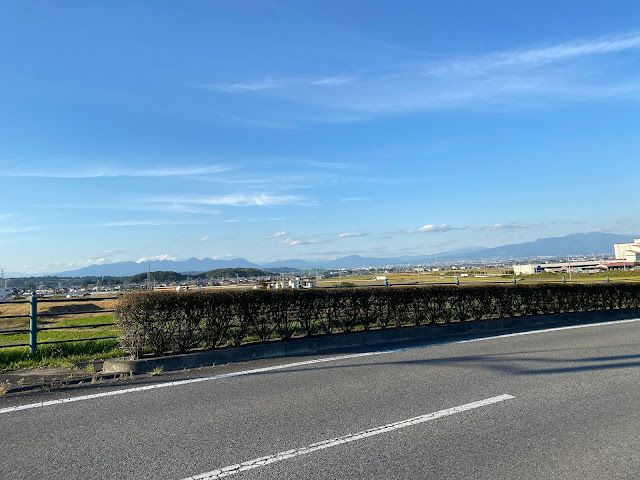
I was very glad that i took the Chichibu route, as traffic had picked up over the afternoon and I did not relish slogging through Saitama to get home. As soon as I turned onto the "Furusato Dori" that heads south into the hills, traffic volumes dropped quickly. Once past the Saitama border and onto the 150m elev climb on Route 13, I had the road almost to myself. I really enjoyed these short climbs ... legs still fresh after "only" 75kms with little climbing so far.
 |
| That's my shadow. Same spot where I took the photo below as well. |
 |
| Entering Saitama. First climb ahead. |
 |
| Nearing Chichibu City from the North. |
I made a quick stop at a convenience store in Chichibu City -- the Lawson that was one of the first convenience stores I recall seeing in Japan that had placed bike racks prominently in its parking area -- then started the slog on Route 299. All through Chichibu City I was traveling along a line of sitting cars. This continued until I passed the first 3 or 4 traffic signals leaving Chichibu to the SW. Only then did the road open up. All the way until the turn off to Yamabushi Pass I would be passed by waves of cars. This is not the most pleasant road to ride going uphill with traffic. But at least everyone kept a wide berth, the shoulder is decent in most places, and I knew that a reward waited just ahead.
 |
| Pitch dark at 6PM. |
It was pitch dark by the time I turned off to Route 53 and continued the climb to Yamabushi Pass. A car would pass every minute or two, nearly always a "kei" light car or truck. As I neared the turn off to Shomaru Pass, I could see a group of 5-6 very small deer hustling into the brush ahead of me on the left side of the road. There were also a few "kei" cars parked at odd intervals, the single driver sitting in the car, glued to his smartphone. But at least I was alone at the top of the climb. The signboard said it was now 9 degrees celsius (or around 48 fahrenheit), getting cold for a descent by bicycle. I rode down around the first section of the descent to a lighted area with a bit of a turn out, where I could put on my leg warmers and a helmet liner. I already was wearing a decent long sleeved jersey and wind block inner layer, and wool socks with MTB shoes and mid-season long fingered gloves, so was just fine to get down the hill without putting on a jacket or anything warmer.
 |
| On the Yamabushi descent. |
 |
| Same place, different angle, in daylight |
Once descending Yamabushi, it felt like a fast ride back to Oume, only a few short climbs to slow me down. I had just enough time to rinko my bike at Oume and get onto the 7:33PM train to Tachikawa. I thought about riding further, having covered only 130kms. But it had been a perfect day, off and on the bicycle, so no reason to slog on just to add a few more kms. I would enoy the train ride, then ride the bicycle home 6.5 kms from Yotsuya.
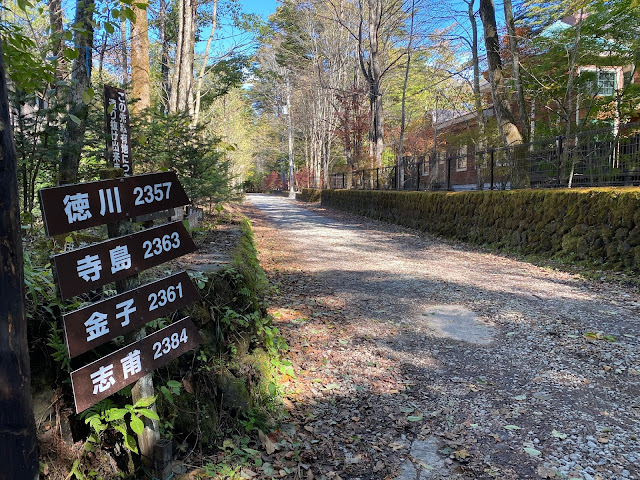
If you read this far, perhaps you would enjoy some photos from the morning stroll we took near our hotel, and our visit to a historical building the day before.


No comments:
Post a Comment